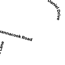
116 SQUANNACOOK RD
Owner Information
BATES, JOHN W., TRUSTEE
P.O. 997
CLINTON, MA 01510


Property Details
116 SQUANNACOOK RD is classified as a Developable Residential Land.
116 SQUANNACOOK RD is valued at $147,400. The land is valued at $147,400 and the structures are valued at $0.
This property is in Zone R1. Confirm with local Zoning Board authorities to ensure there are no overlays or other easements on this property.
The most recent deed for 116 SQUANNACOOK RD is recorded at the local registrar in Book 41475, Page 099. 116 SQUANNACOOK RD was last sold on Thursday, November 13, 2003 for $100.
Assessment data from fiscal year 2022.
Flood Data
According to the FEMA National Flood Hazard Layer, this property does not appear to be in a flood zone. It may also be in an area not yet reviewed. Nonetheless, confirm this information prior to taking any action.
To view the flood hazards around this property, create a FEMA "Firmette" Map of the area around 116 SQUANNACOOK RD.
Broadband Internet Providers
| Provider | Type | Bandwidth (mbps) | |
|---|---|---|---|
| Comcast | Cable | 1000 | 35 |
| GCI Communication Corp. | Satellite | 0 | 0 |
| HughesNet | Satellite | 25 | 3 |
| VSAT Systems, LLC. | Satellite | 2 | 1 |
| Verizon New England Inc. | Fiber | 940 | 880 |
| Verizon New England Inc. | DSL | 5 | 0 |
| Viasat Inc | Satellite | 100 | 3 |
| T-Mobile | Fixed Wireless | 25 | 3 |
Broadband service provider data from December 2020.
Adjacent Properties
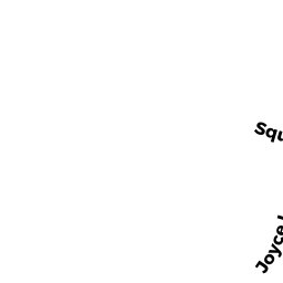
- 1 JOYCE LANE
Single Family Residential owned by MAYO, ROLAND M. - 3 JOYCE LANE
Single Family Residential owned by KOUTSOUFIS NICHOLAS & - 120 SQUANNACOOK RD
Two-Family Residential owned by BARBAR, ALBERT - 114 SQUANNACOOK RD
Two-Family Residential owned by LASHUA, JILL E. - 112 SQUANNACOOK RD
Residential Condominium owned by MURRELL, LUCIELLE MAIRE - 110 SQUANNACOOK RD
Residential Condominium owned by GAVAZZI, WILLIAM M. - 108 SQUANNACOOK RD
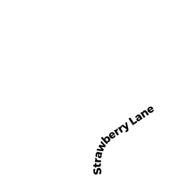
Two-Family Residential owned by BUTLER, DALE E. - 3 STRAWBERRY LN
Multiple Houses on one parcel owned by KELLY, CHERYL C. - 0 GARRISON RD
Potentially Developable Residential Land owned by LEAMAN, PAUL